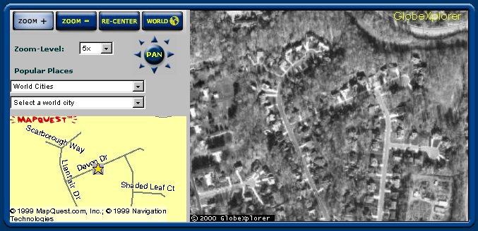
Aerial Views
6172 Devon Dr., Columbia, MD
This page shows views of our house taken from a satellite about 300 miles
high. From the size of the trees in my neighbor's front yard, it looks
like they were taken about 5-8 years ago. These pictures are courtesy
of GlobeXplorer,
Inc.
This first shot was captured off the GlobeXplorer screen.
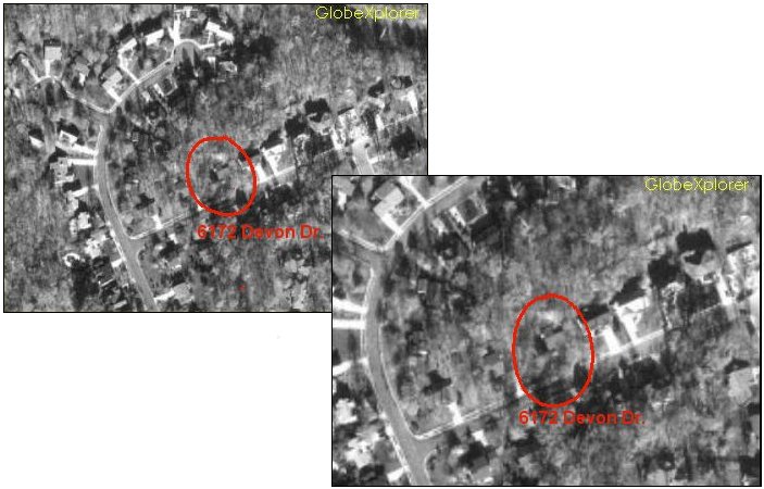
These two shots are 2X and 4X blowups provided by GlobeXplorer.
Back to Top
Page created by Jacques L'Heureux
Last modified:
July 15, 2004
|